Survey conducted to identify potential landslide sites in
Badulla and Passara areas
June 27, 2024
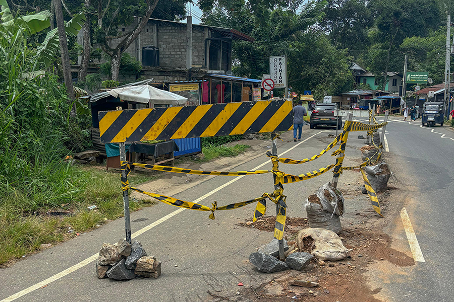
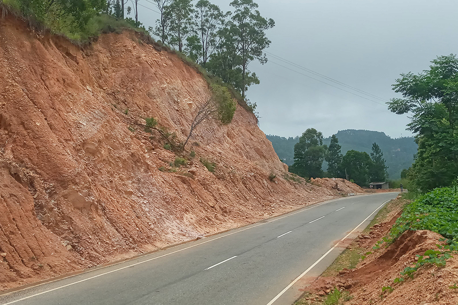
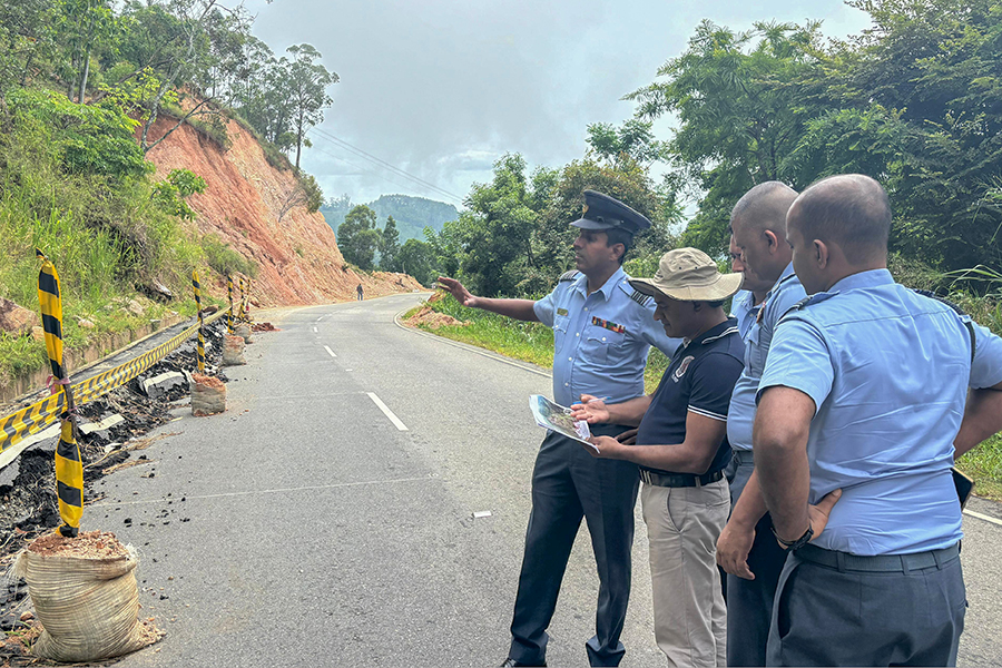
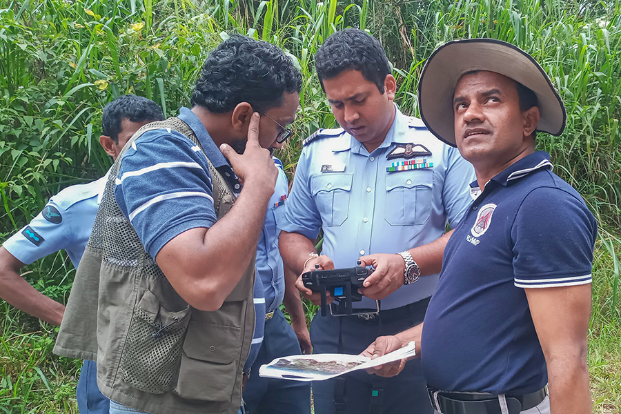
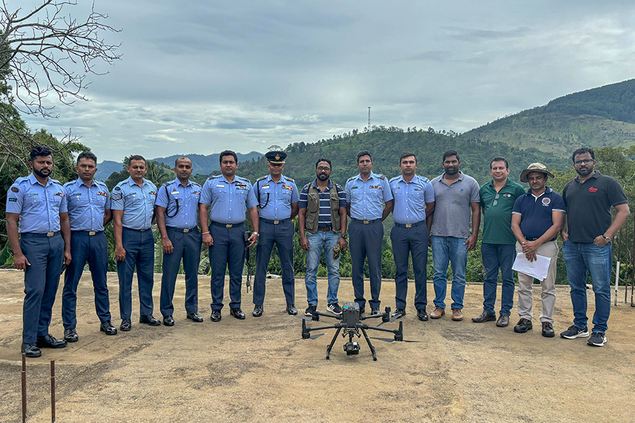
According to Sri Lanka Air Force ( SLAF) media reports, personnel of the SLAF Geographic Information System and Remote Sensing Team ably assisted to conduct a comprehensive survey and mapping operation utilizing LiDAR technology to investigate suspected landslide areas in Badulla and Passara areas, recently ( Jun 25).
This survey was conducted in collaboration with the Reduction of Landslide Vulnerability by Mitigation Measures Project of the National Building Research Organization (NBRO) with the primary objectives to leverage advanced LiDAR technology for accurate terrain surveying and mapping, identify potential landslide risks and enhance disaster preparedness and mitigation strategies, it says.
A M-300 Drone, LiDAR camera and Real Time Kinematic (RTK) mobile station to ensure precise surveying and mapping of the suspected landslide areas were utilised for this purpose, it says.